GoKeep is a benefits program that adds value to the purchase of equipment with support, training, discounts and exclusive advantages according to the chosen plan.
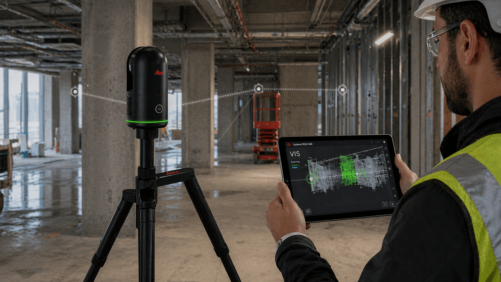
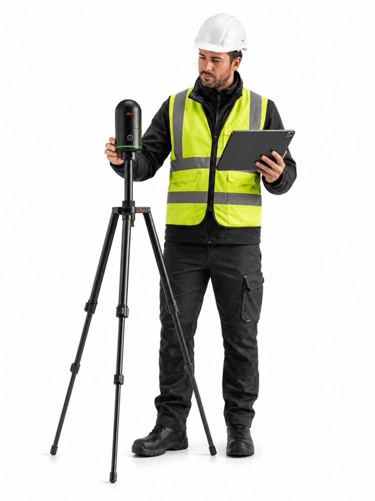
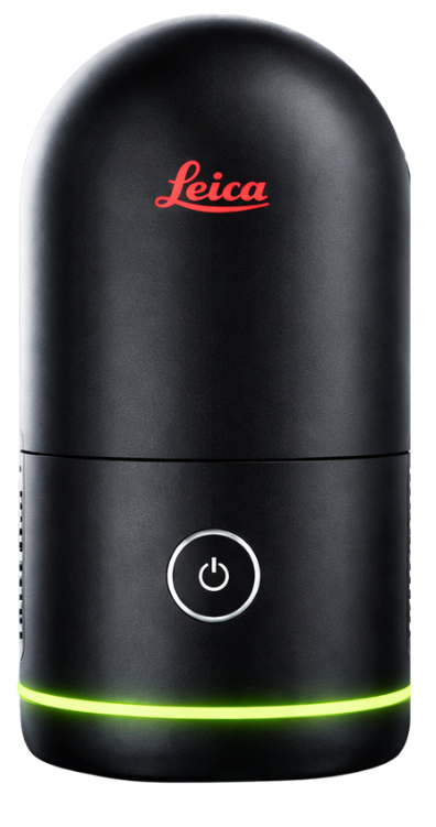
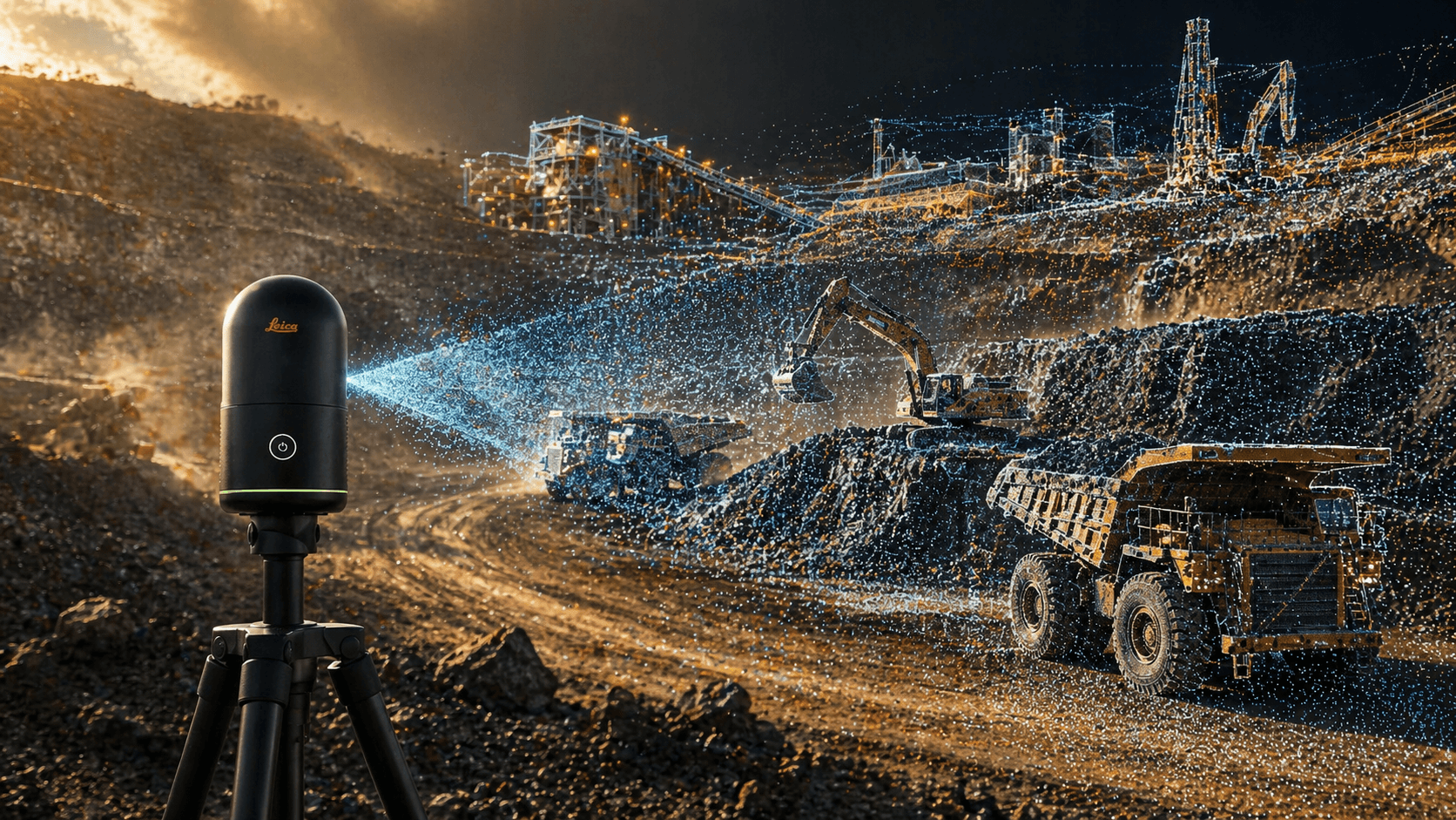
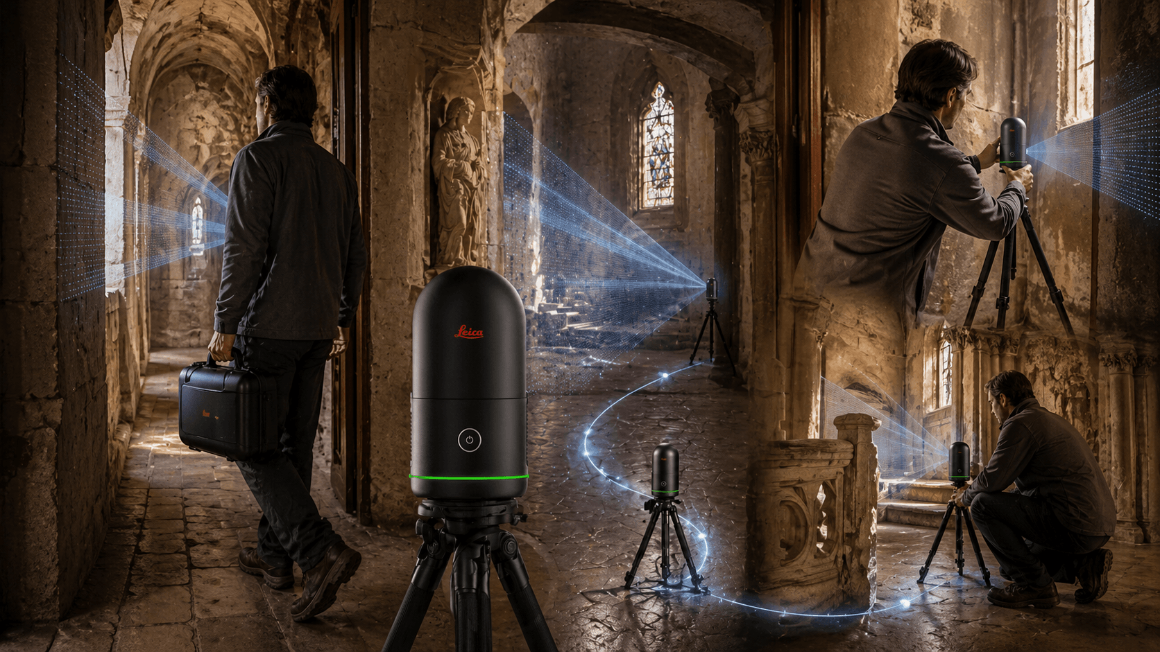
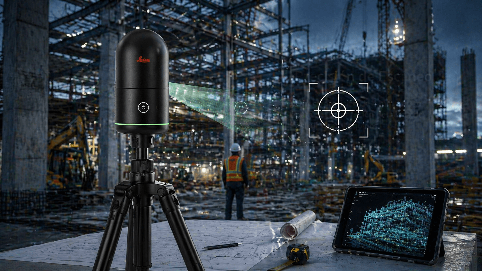
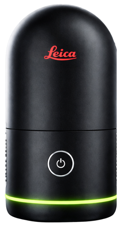
Leica BLK360 G2 Laser Scanner
From $26.990.000 + VAT
Your purchase is not just a purchase
At Realtek we know the terrain: work cannot stop. That's why we created GoKeep, a benefits program that supports you even after you purchase equipment through support, training, discounts, and exclusive advantages depending on the plan chosen, providing real backing to keep your operation always running.
Resolve your doubts
The difference lies in the level of benefits included. The higher the plan, the greater the coverage, support, training and commercial benefits.
Not always. The plans maintain a general logic, but some benefits may vary depending on the type of product or equipment purchased.
It may include extended warranty, priority support, courses, software demos, discounts on future purchases, TekPoints, maintenance, and exclusive benefits.
GoKeep Plus adds more support time, equipment recovery, preventive maintenance, early access to offers, in-person training, and better commercial benefits.
GoKeep Pro incorporates the highest level of support, more discounts, more maintenance, additional courses, technical advice, and priority in associated services.
They are accumulative points associated with purchases, which can be converted into benefits or support for future purchases, according to the program's conditions. Each TEKPOINT is equal to $1 CLP.
It is the possibility of valuing your current equipment as part of a future renewal or change, depending on the product and the contracted plan.
Yes. Depending on the plan, it may include team course, certificate, in-person training, and access to additional courses at Realtek Academy.
It depends on how much support, training, and backup you need. If you're looking for basic benefits, GoKeep may be enough; if you want more coverage and accompaniment, Plus or Pro deliver greater value.
Let's start
CHOOSE AN OPTION
Start your purchase
Set up your purchase in simple steps
Quote this product
We will send the quote to your email
Step 1/5 You will shortly receive the quote in your email.
Rent this product
An executive will contact you shortly
Step 1/5 You will soon receive the rental information in your email.
Camera system
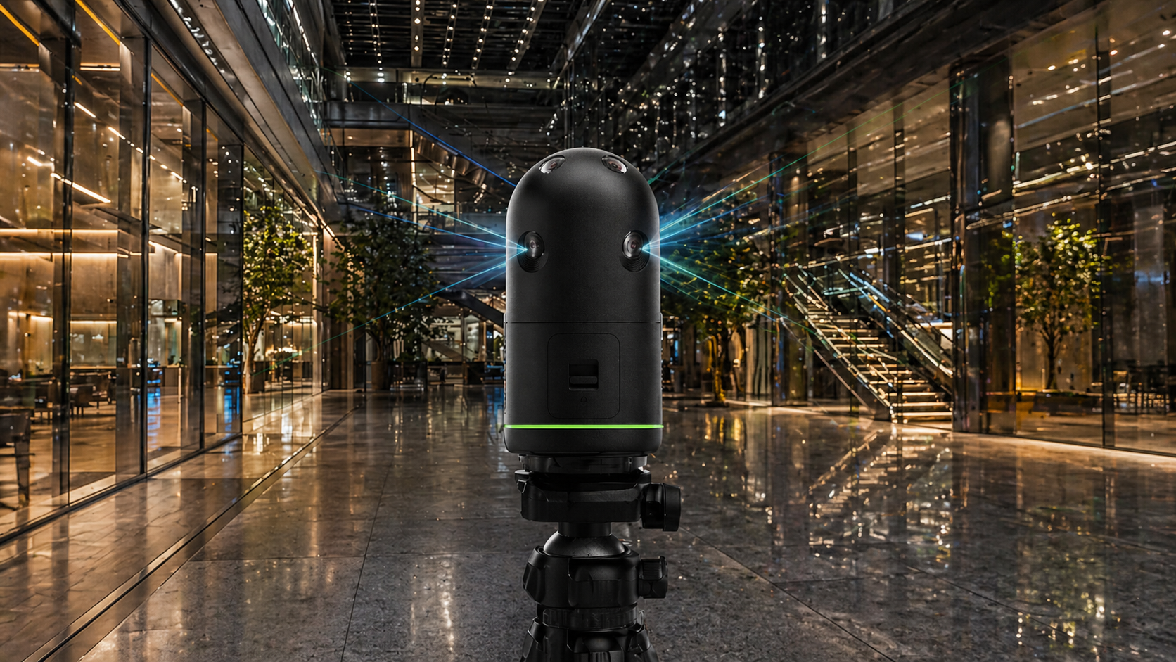
4 13 MP cameras
104 MP raw spherical
Capture rate
Up to 680,000 pts/s
Measurement time
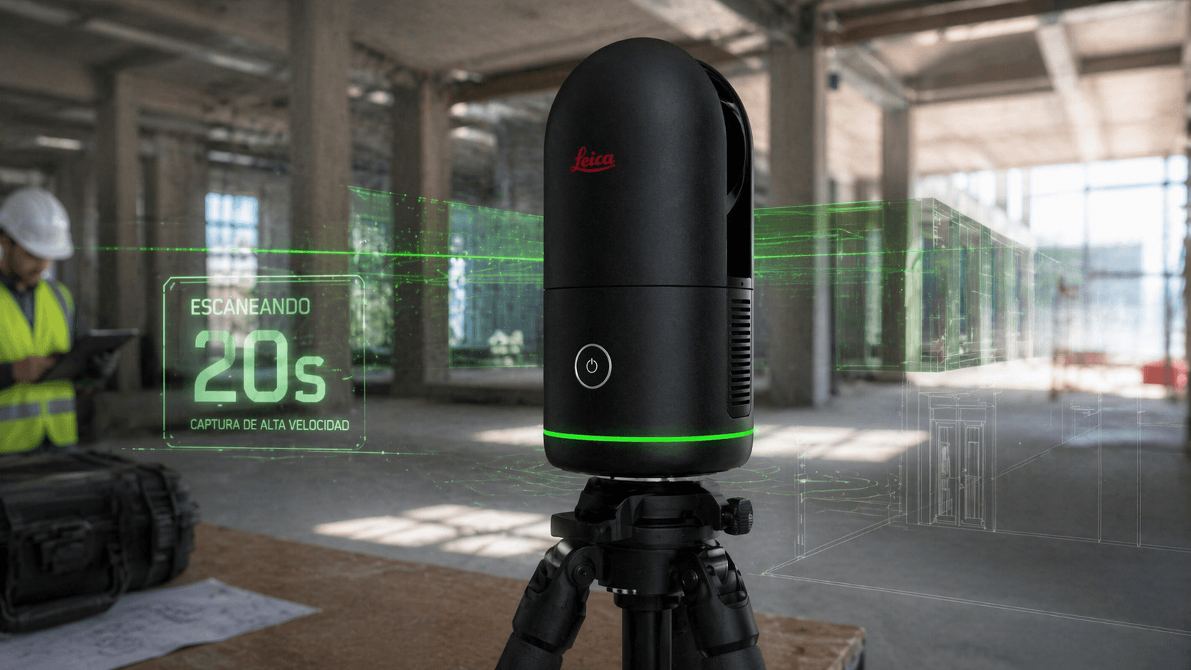
<20 s per full dome scan with LDR image
Range
0.5 m to 45 m
Technical specifications
Leica BLK360 G2 Laser Scanner
Laser scanner with HDR cameras
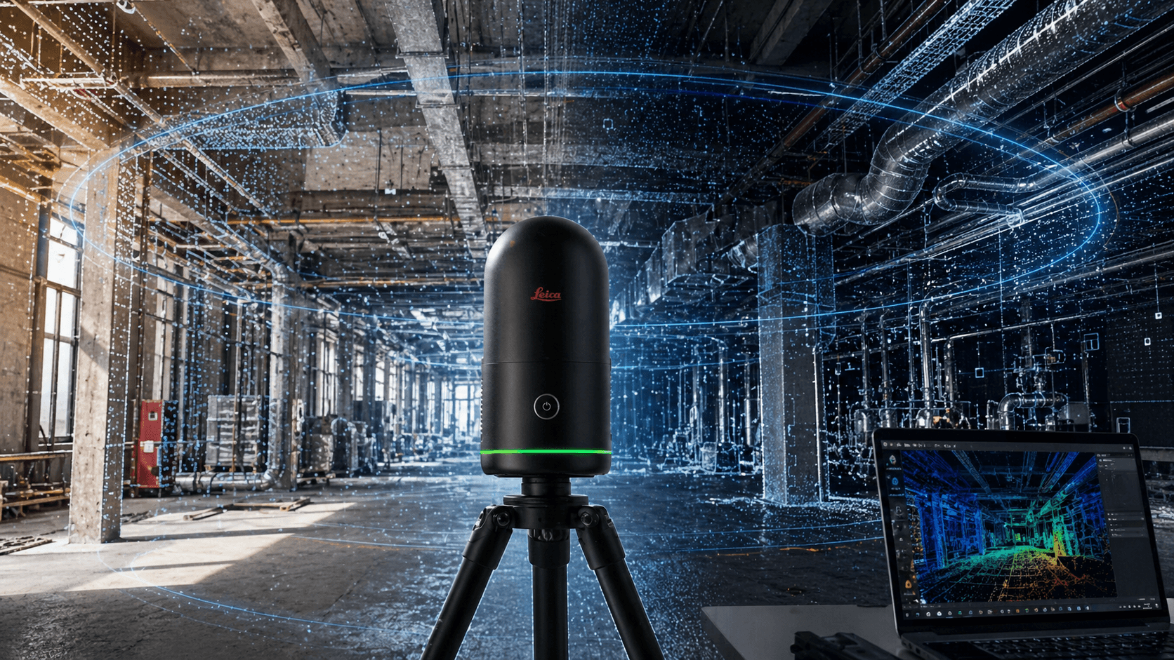
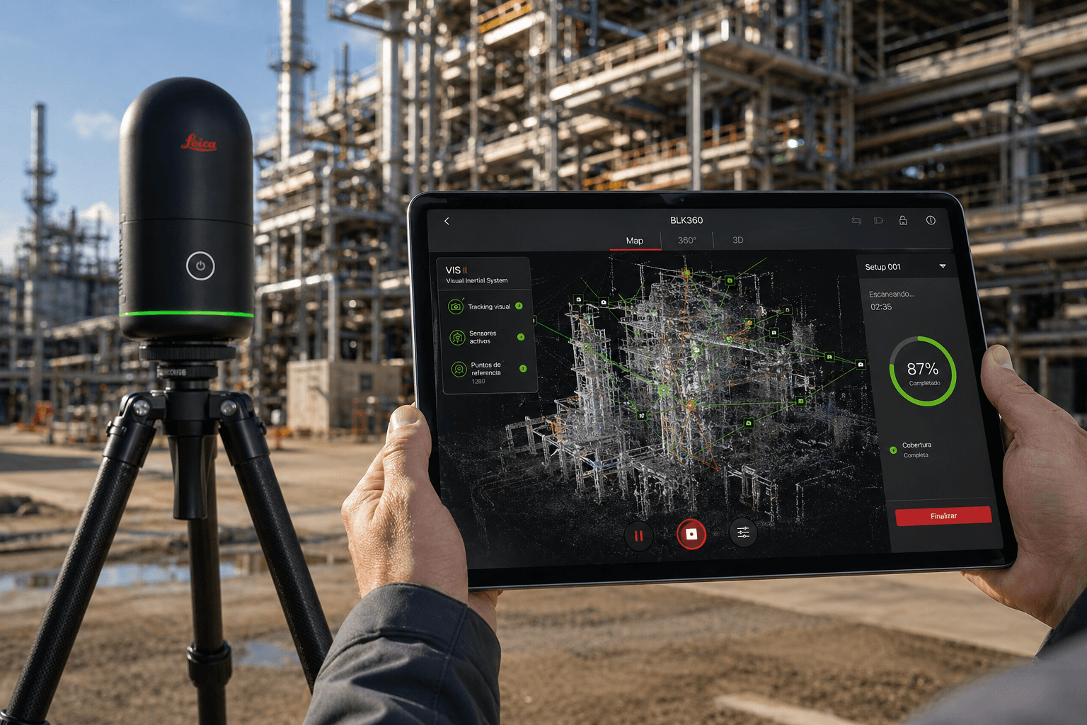
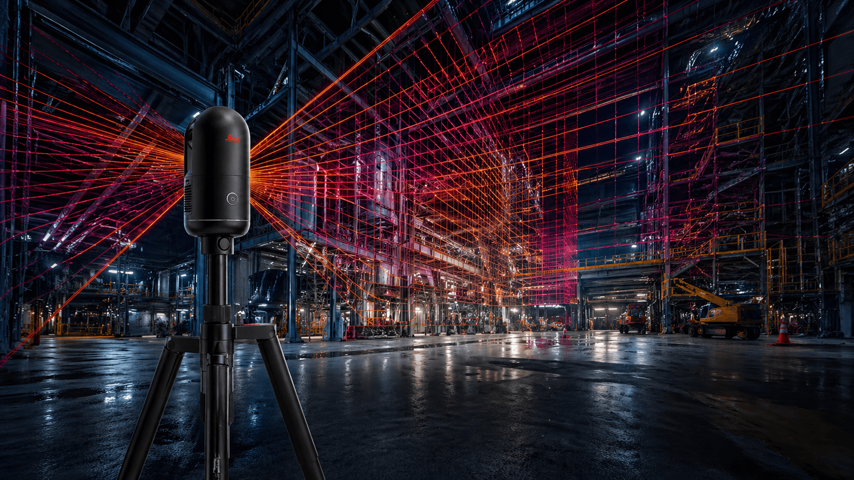
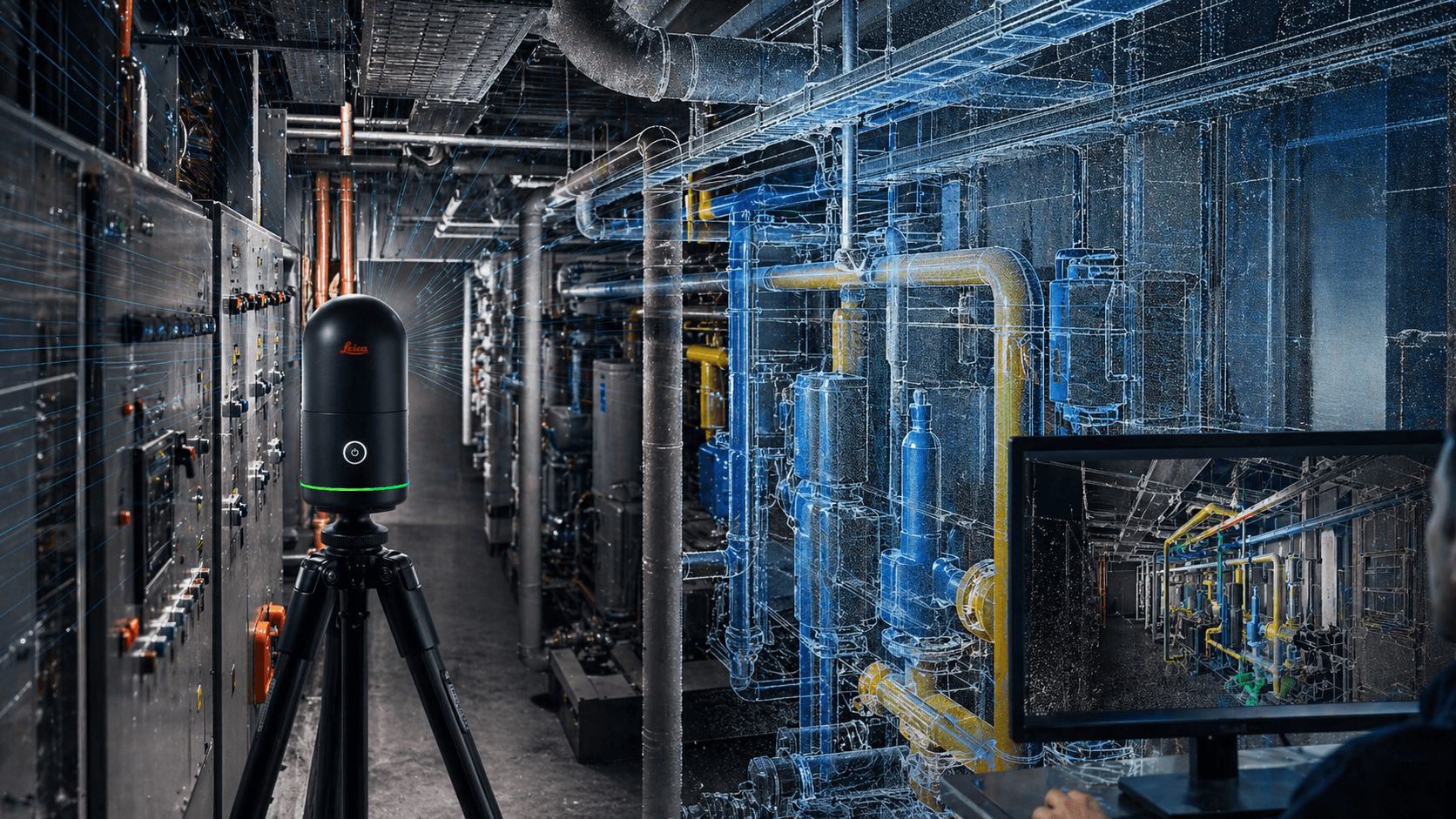
3D scanner with integrated high-speed cameras that capture HDR spherical images and feed the Visual Inertial System (VIS) for real-time pre-registration
Housing
Dimensions
Diameter
Weight
Transport capsule
Mounting mechanism
Dimensions
Diameter
Weight
Transport capsule
Mounting mechanism
Black anodized aluminum
Height: 155 mm
80 mm
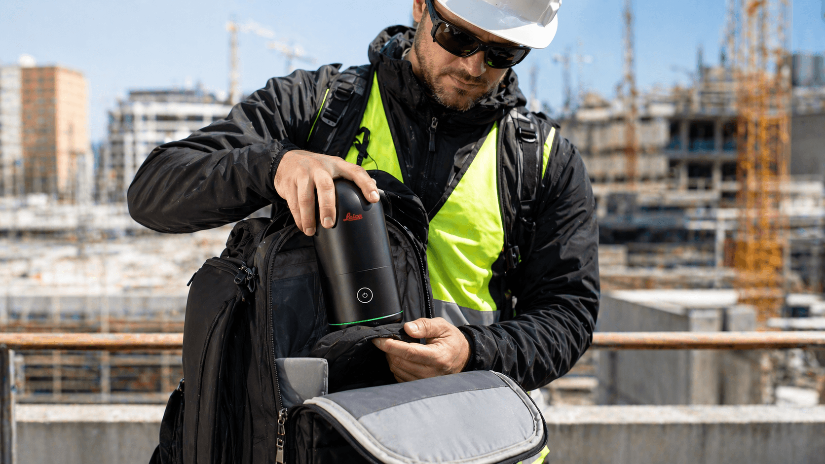
0.75 kg (0.85 kg including battery)
GVP739 transport capsule
Quick release by pressing a button
Height: 155 mm
80 mm
0.75 kg (0.85 kg including battery)
GVP739 transport capsule
Quick release by pressing a button
Independent
Mobile devices
Wireless communication
Internal memory
Instrument orientation
Mobile devices
Wireless communication
Internal memory
Instrument orientation
One-button operation
BLK Live app for
iOS and Android smartphones
Leica Cyclone FIELD 360 App
for iOS and Android tablets and smartphones
Android
Integrated Wireless LAN (802.11 b/g/n)
Stores up to 1500
parking spaces
Normal and inverted
BLK Live app for
iOS and Android smartphones
Leica Cyclone FIELD 360 App
for iOS and Android tablets and smartphones
Android
Integrated Wireless LAN (802.11 b/g/n)
Stores up to 1500
parking spaces
Normal and inverted
Battery type
Duration
Duration
Internal lithium-ion battery and
rechargeable (Leica GEB825)
Up to 70 parking spaces per
battery
rechargeable (Leica GEB825)
Up to 70 parking spaces per
battery
Measurement system
distances
Laser class
Wavelength
Field of view
Scope*
Measurement frequency
Measurement modes
distances
Laser class
Wavelength
Field of view
Scope*
Measurement frequency
Measurement modes
High-speed time of flight
enhanced with technology
Waveform Digitising (WFD)
1 (in accordance with IEC 60825-1:2014)
830 nm
360° (horizontal) / 270° (vertical)
Min. 0.5 m - up to 45 m
Up to 680,000 points/second
4 resolution settings
(6/12/25/50 mm @ 10 m)
enhanced with technology
Waveform Digitising (WFD)
1 (in accordance with IEC 60825-1:2014)
830 nm
360° (horizontal) / 270° (vertical)
Min. 0.5 m - up to 45 m
Up to 680,000 points/second
4 resolution settings
(6/12/25/50 mm @ 10 m)
Camera system
Speed
Image modes
Speed
Image modes
4 13 MP cameras that capture
raw 104 MP data for a
calibrated spherical image of
360° x 270°
< 8 sec. for a spherical image
Full LDR in any
lighting condition
< 20 sec. for a spherical image
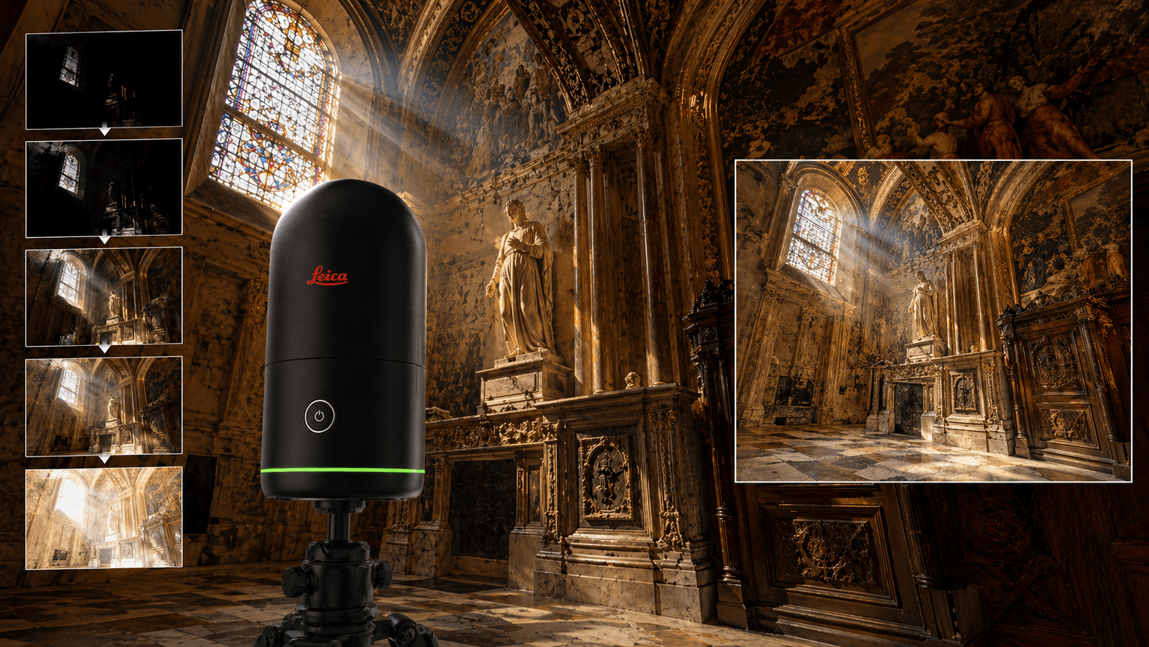
Full 5-exposure HDR in
any lighting condition
• Auto-exposure LDR
• 5-exposure HDR
• Off - scan only
raw 104 MP data for a
calibrated spherical image of
360° x 270°
< 8 sec. for a spherical image
Full LDR in any
lighting condition
< 20 sec. for a spherical image
Full 5-exposure HDR in
any lighting condition
• Auto-exposure LDR
• 5-exposure HDR
• Off - scan only
Data capture
3D point accuracy*
Real-time pre-registration
3D point accuracy*
Real-time pre-registration
< 20 sec. for a full dome scan
at 50 mm resolution
@ 10 m with automatic measurements
LDR spherical tilt and image
4 mm to 10 m
Automatic cloud alignment
of points based on tracking
real-time movement of the
scanner between parking lots
based on the Visual Inertial System
(VIS) with Inertial Measurement Unit
(IMU) enhanced by video
at 50 mm resolution
@ 10 m with automatic measurements
LDR spherical tilt and image
4 mm to 10 m
Automatic cloud alignment
of points based on tracking
real-time movement of the
scanner between parking lots
based on the Visual Inertial System
(VIS) with Inertial Measurement Unit
(IMU) enhanced by video
Durability
Operating temperature
Dust/moisture
Operating temperature
Dust/moisture
Designed for indoor and outdoor use
0 °C to +40 °C
Protection against dust and moisture
IP54 (IEC 60529)
0 °C to +40 °C
Protection against dust and moisture
IP54 (IEC 60529)
Data transfer
Desktop software
Cloud software
Desktop software
Cloud software
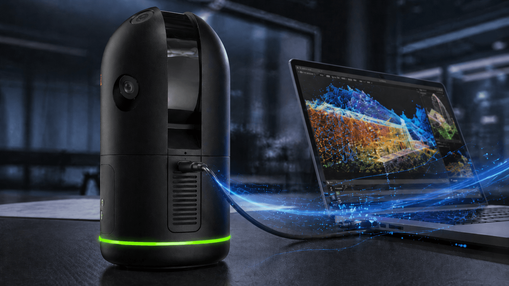
Wireless and USB 3.0
Leica Cyclone REGISTER 360 and
Cyclone REGISTER 360 (BLK Edition)
HxDR Digital Reality: cloud-based
digital reality platform
Leica Cyclone REGISTER 360 and
Cyclone REGISTER 360 (BLK Edition)
HxDR Digital Reality: cloud-based
digital reality platform

Read content list
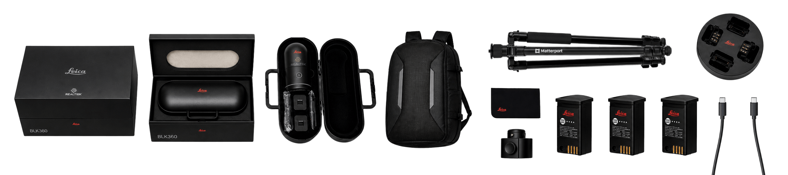
What's in the box?
Leica BLK360 G2 Laser Scanner
1 Leica BLK360 G2 Laser Scanner
1 Rigid Case
3 Lithium ion batteries
1 Quad charger
1 Photography tripod
1 Tripod adapter
1 Carrying backpack
1 USB cable (type C to type C)
1 Cleaning cloth

Do you have questions?
The G2 is up to 5 times faster and has much superior HDR image quality, plus the VIS system that facilitates point cloud registration.
No, it has IP54 protection, meaning it resists dust and light splashes, but not heavy rain.
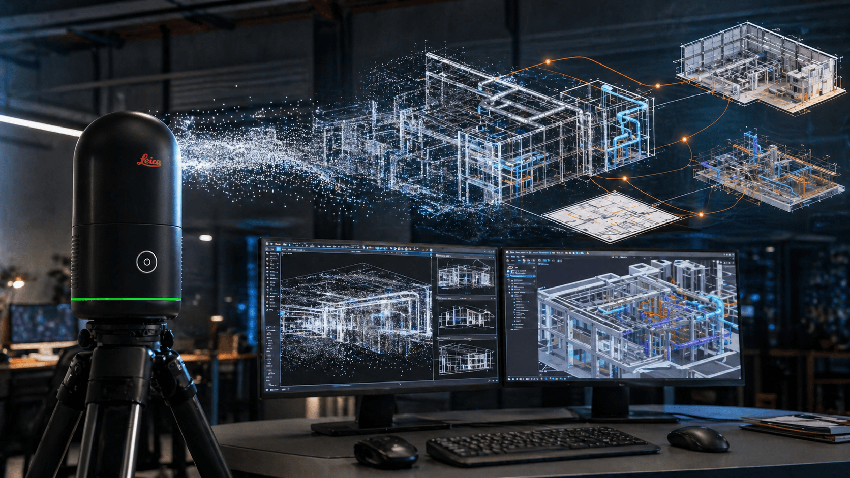
It works perfectly with the Cyclone FIELD 360 app for tablets and Cyclone REGISTER 360 for the office.
The Leica BLK360 includes 3 base batteries, allowing for better organization of a day of field surveying. In real use, each battery provides approximately 1 hour of continuous work, depending on the number of scans, capture settings, selected resolution, use of images, and operating conditions. This allows for practical field work, alternating batteries during surveying and maintaining continuous operation without relying on a single charge.
Leica BLK360 data can be downloaded via cable or WiFi connection, depending on the workflow used by the operator. Data transfer is fast and designed not to become a bottleneck within the project. This allows captured scans to be quickly transferred to the office or compatible software for registration, review, processing, or technical delivery. Simply put: you can capture in the field and then efficiently download the data, either via wired or wireless connection.
The Leica BLK360 is a very fast laser scanner for field capture. Each station can take from approximately 20 seconds to 1 minute and 40 seconds, depending on the selected resolution and configured image quality. This enables agile surveys in interiors, buildings, offices, plants, architecture, construction, heritage, and infrastructure. The higher the resolution or visual quality required, the longer the capture time. If the project needs a quick capture for general documentation, lighter settings can be used. If greater detail and better image quality are required, the settings can be adjusted for a more complete result.
Yes. All our products include training through the free GoKeep program. Additionally, our support channel is always available to provide you with a quick response to any technical or commercial questions. You can find our WhatsApp contact directly in the footer of our website.
Yes, we ship to different regions of the country. The cost and delivery time may vary depending on the destination commune or region.
No, the published prices are net and VAT is added at checkout.