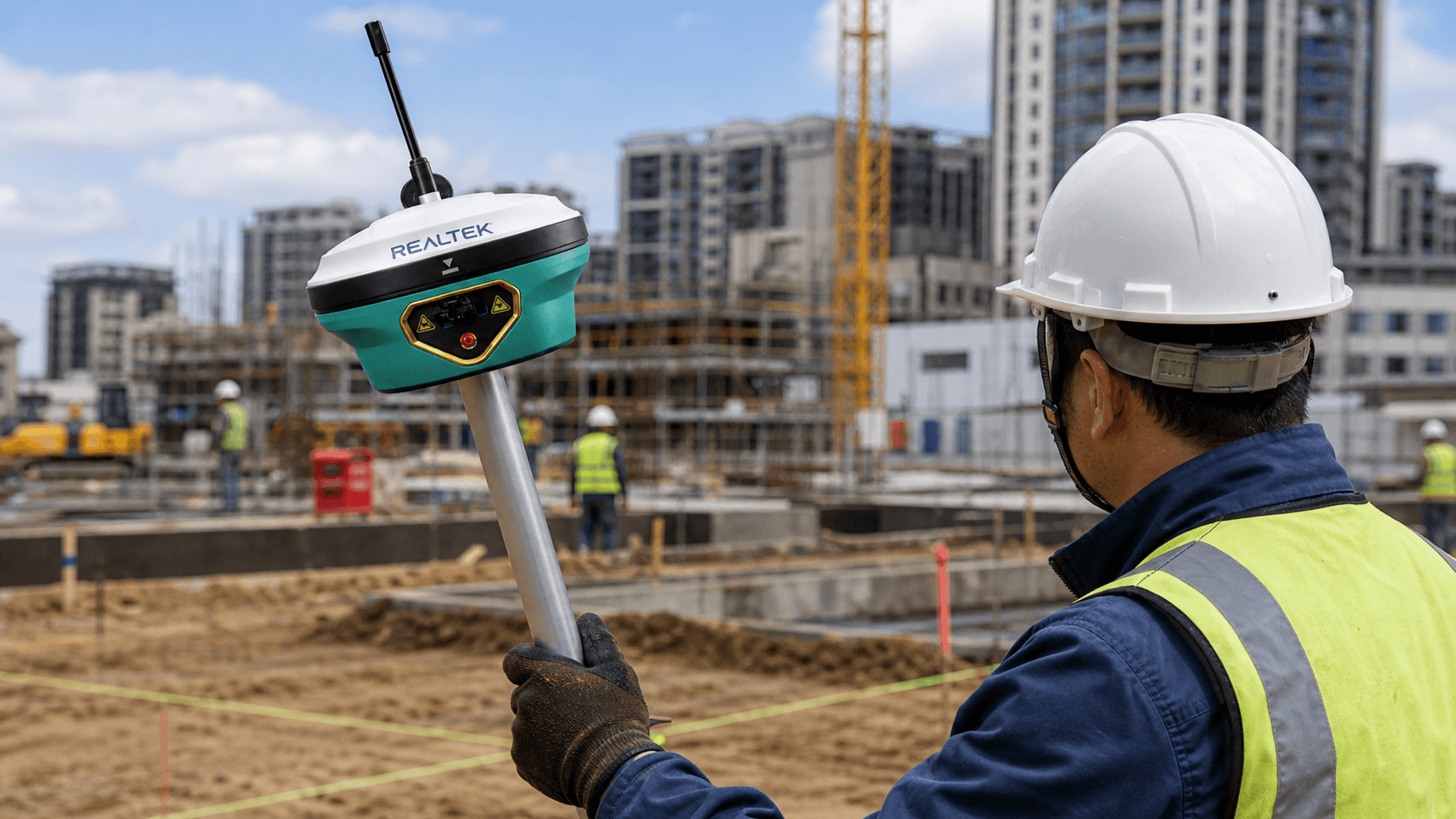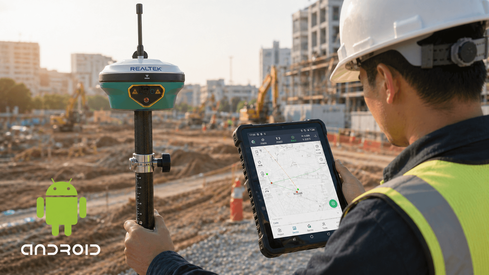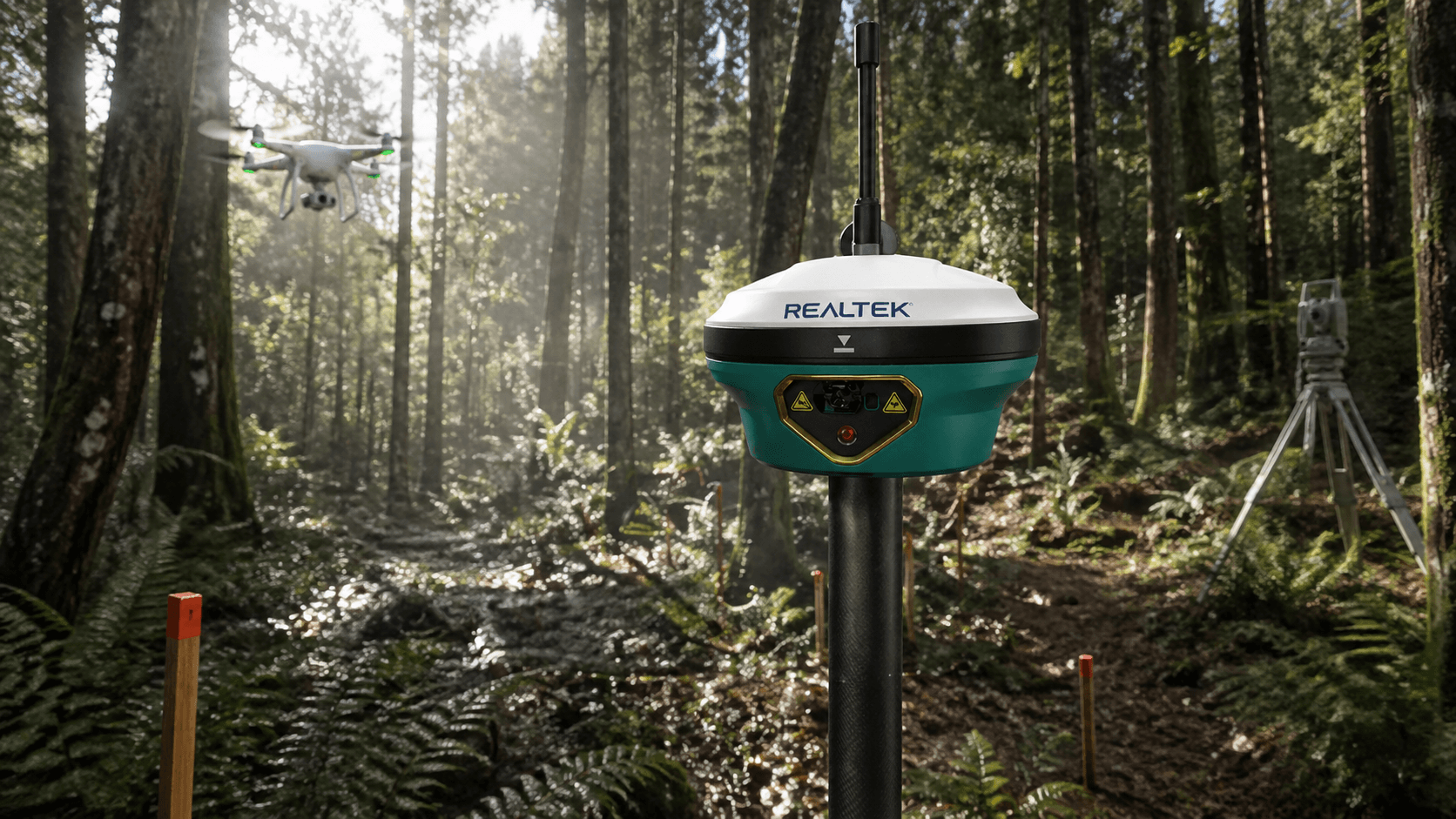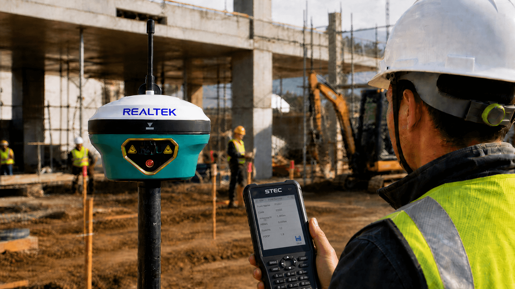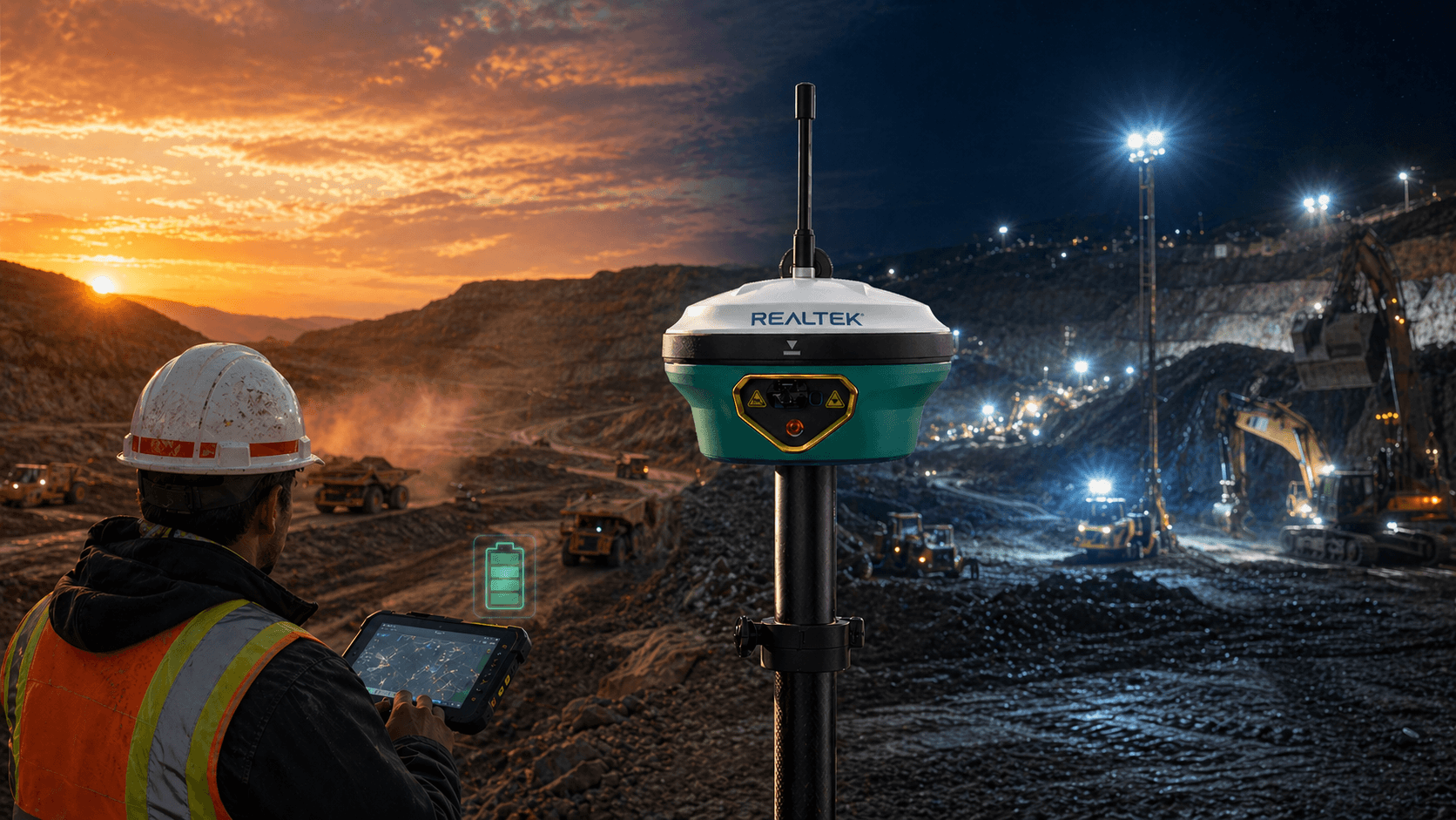
GoKeep is a benefits program that adds value to the purchase of equipment with support, training, discounts and exclusive advantages according to the chosen plan.
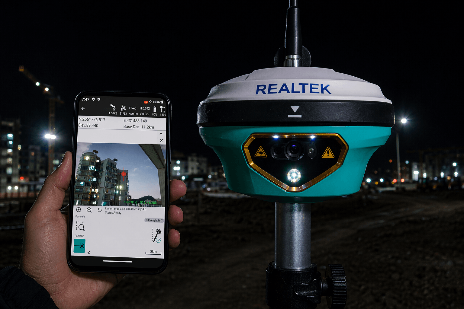
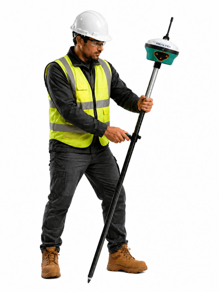
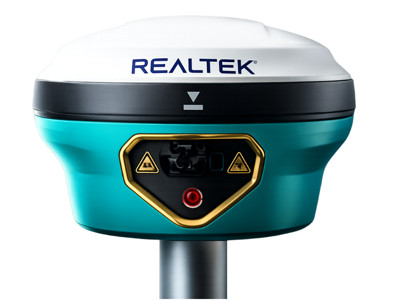
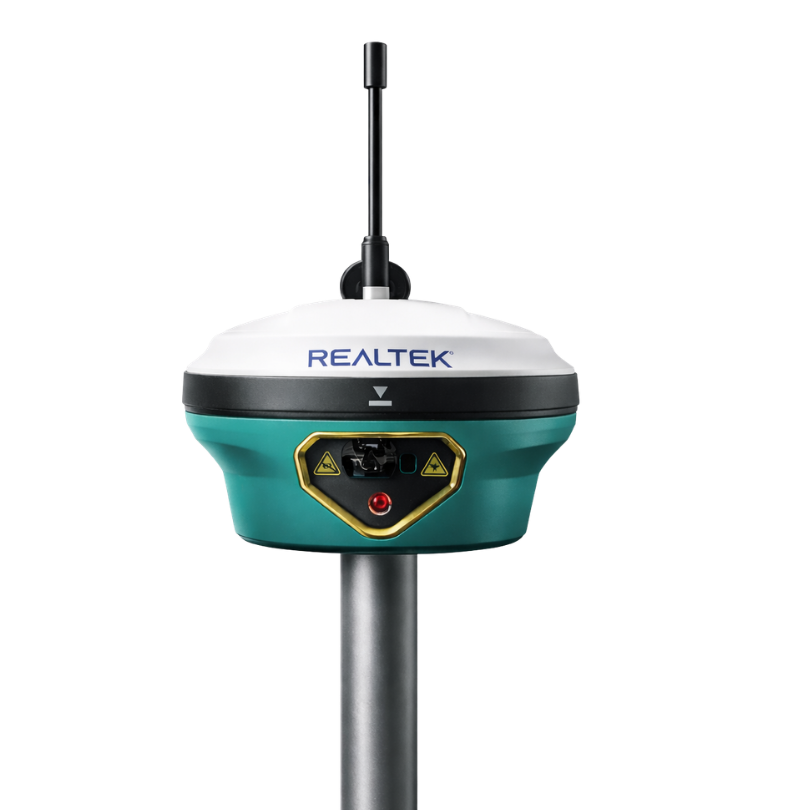
GNSS STEC SDi Pro
From $3.490.000 + VAT or $346.092 for 12 months
Your purchase is not just a purchase
GoKeep Protection included 1 year
Access to usage certification
6 months of free GeoMaster usage
At Realtek we know the terrain: work cannot stop. That's why we created GoKeep, a benefits program that supports you even after you purchase equipment through support, training, discounts, and exclusive advantages depending on the plan chosen, providing real backing to keep your operation always running.
Resolve your doubts
The difference lies in the level of benefits included. The higher the plan, the greater the coverage, support, training and commercial benefits.
Not always. The plans maintain a general logic, but some benefits may vary depending on the type of product or equipment purchased.
It may include extended warranty, priority support, courses, software demos, discounts on future purchases, TekPoints, maintenance, and exclusive benefits.
GoKeep Plus adds more support time, equipment recovery, preventive maintenance, early access to offers, in-person training, and better commercial benefits.
GoKeep Pro incorporates the highest level of support, more discounts, more maintenance, additional courses, technical advice, and priority in associated services.
They are accumulative points associated with purchases, which can be converted into benefits or support for future purchases, according to the program's conditions. Each TEKPOINT is equal to $1 CLP.
It is the possibility of valuing your current equipment as part of a future renewal or change, depending on the product and the contracted plan.
Yes. Depending on the plan, it may include team course, certificate, in-person training, and access to additional courses at Realtek Academy.
It depends on how much support, training, and backup you need. If you're looking for basic benefits, GoKeep may be enough; if you want more coverage and accompaniment, Plus or Pro deliver greater value.
Let's start
CHOOSE AN OPTION
Start your purchase
Set up your purchase in simple steps
Quote this product
We will send the quote to your email
Step 1/5 You will shortly receive the quote in your email.
Rent this product
An executive will contact you shortly
Step 1/5 You will soon receive the rental information in your email.
Tilt angle
IMU for inclination
2 cm within 60°
Number of channels
1,408 / 1,808 expandable
Protection
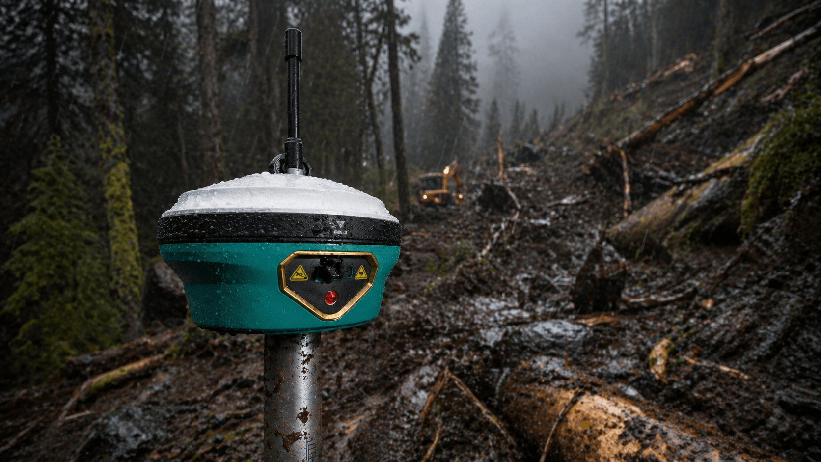
IP68; water and dust
+ 2m drop
Battery
3.6V, 13,600mAh
20 h static / 15 h rover
Technical specifications
GNSS STEC SDi Pro
Channels
GPS
GLONASS
BEIDOU
GALILEO
QZSS
SBAS
IRNSS
BAND I
Positioning Rate
GPS
GLONASS
BEIDOU
GALILEO
QZSS
SBAS
IRNSS
BAND I
Positioning Rate
1,408 | 1,808 (upgradable)
L1C/A, L2C, L2P(Y), L5
L1, L2
B1i, B2i, B3i, B1C, B2a,
B2b E1, E5a, E5b, E6
L1, L2, L5, L6
L1, L5
L5
B2b - PPP, E6 - HAS
1-20Hz
L1C/A, L2C, L2P(Y), L5
L1, L2
B1i, B2i, B3i, B1C, B2a,
B2b E1, E5a, E5b, E6
L1, L2, L5, L6
L1, L5
L5
B2b - PPP, E6 - HAS
1-20Hz
Differential Pos.
Static
RTK
RTK NTRIP
PPK
Static
RTK
RTK NTRIP
PPK
H: 0.40m (RMS)
V: 0.80m (RMS)
H: 2.5mm±0.5ppm (RMS)
V: 3.5mm±0.5ppm (RMS)
H: 8mm±1ppm (RMS)
V: 15mm±1ppm (RMS)
H: 8mm±0.5ppm (RMS)
V: 15mm±0.5ppm (RMS)
H: 3mm±1ppm (RMS)
V: 5mm±1ppm (RMS)
V: 0.80m (RMS)
H: 2.5mm±0.5ppm (RMS)
V: 3.5mm±0.5ppm (RMS)
H: 8mm±1ppm (RMS)
V: 15mm±1ppm (RMS)
H: 8mm±0.5ppm (RMS)
V: 15mm±0.5ppm (RMS)
H: 3mm±1ppm (RMS)
V: 5mm±1ppm (RMS)
Tilt angle
Accuracy
Accuracy
120°
2cm at 60º
2cm at 60º
Type
Range
Distance Precision
Frequency
JaserFix
Range
Distance Precision
Frequency
JaserFix
Class 3, red
0.7-150m / 200m (opt. conditions)
2mm
Normal mode: 10Hz
Fast mode: 20Hz
≤2 cm within 10m
≤3 cm within 20m
0.7-150m / 200m (opt. conditions)
2mm
Normal mode: 10Hz
Fast mode: 20Hz
≤2 cm within 10m
≤3 cm within 20m
Optical Format
Size
Image Size
Sensor Variation
Size
Image Size
Sensor Variation
1/2.8”
2.9*2.9μm
1,920*1,080
CMOS 1080p HDR imaging
sensor
2.9*2.9μm
1,920*1,080
CMOS 1080p HDR imaging
sensor
Memory
Data transmission
RTK data
Static Data
GPS output
Data transmission
RTK data
Static Data
GPS output
SSD 8GB
External USB memory
Type-C USB Transfer
Supports FTP/HTTP downloads
RTCM 2.1, RTCM 2.3, RTCM
3.0, RTCM 3.1, RTCM 3.2, RTCM 3.3
RTCM 3.4, NMEA 0183,
PJK plane coord., binary code,
Trimble GSOF
DAT, RINEX 2.x, RINEX 3.x
External USB memory
Type-C USB Transfer
Supports FTP/HTTP downloads
RTCM 2.1, RTCM 2.3, RTCM
3.0, RTCM 3.1, RTCM 3.2, RTCM 3.3
RTCM 3.4, NMEA 0183,
PJK plane coord., binary code,
Trimble GSOF
DAT, RINEX 2.x, RINEX 3.x
I/O
UHF Port Antenna
Radio Protocol
WiFi
Bluetooth
NFC
UHF Port Antenna
Radio Protocol
WiFi
Bluetooth
NFC
Type-C (Fast Charge+Ethernet)
Quick Plug top TNC
2W Tx/Rx, 410-470MHz
S-LINK Ultra, TrimTalk, Satel, etc.
2.4G*/5G*
, 802.11 a/b/g/n/ac
Hotspot/Data ĵink
Bluetooth 2.1 + EDR and Bluetooth 5.0
Available*
Quick Plug top TNC
2W Tx/Rx, 410-470MHz
S-LINK Ultra, TrimTalk, Satel, etc.
2.4G*/5G*
, 802.11 a/b/g/n/ac
Hotspot/Data ĵink
Bluetooth 2.1 + EDR and Bluetooth 5.0
Available*
Buttons
LED Indicator
LED Indicator
1
Correction, Satellite, Bluetooth,
Energy
Correction, Satellite, Bluetooth,
Energy
Battery
Time of
Operation
Time of
Operation
Internal Lithium Battery
3.6V, 13,600mAh
Static Mode 20h
Rover Mode 15h
3.6V, 13,600mAh
Static Mode 20h
Rover Mode 15h
Dimension
Weight
Operating Temp.
Storage Temp.
Protection
Weight
Operating Temp.
Storage Temp.
Protection
91mm(H), 131mm (W)
890g
-40°C to 65°C
-40°C to 80°C
IP68 waterproof and dustproof; humidity
100% non-condensing; 2 m drop onto
hard surface; 40G 10 ms sawtooth wave
890g
-40°C to 65°C
-40°C to 80°C
IP68 waterproof and dustproof; humidity
100% non-condensing; 2 m drop onto
hard surface; 40G 10 ms sawtooth wave

Read content list
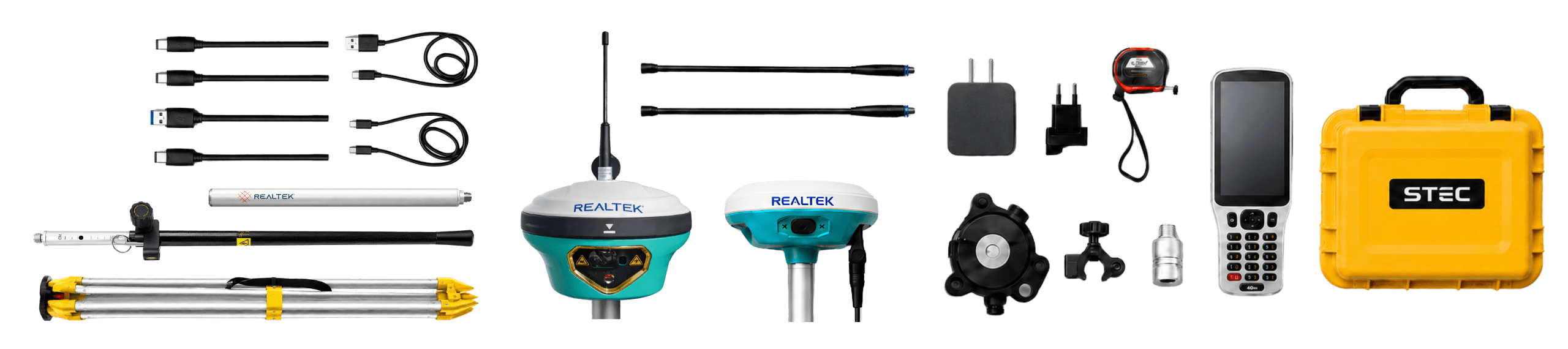
What's in the box?
GNSS STEC SDi Pro
1 GNSS SDi PRO Mobile
1 GNSS Base SV1
1 Transport case
1 2.5m carbon fiber pull
1 Aluminum tripod
1 SPOD controller
1 Field Master field software
2 Radio antennas
1 Controller bracket
1 Leveling base with GNSS bracket
1 Mini pull of 30 cm
3 Type C Chargers
3 Type-C cables

Do you have questions?
Modern PRO models do not require magnetic calibration; they are activated with a simple back-and-forth movement of the stick.
Yes, by using IMU instead of an electronic compass, you can measure near transformers or metal structures without error.
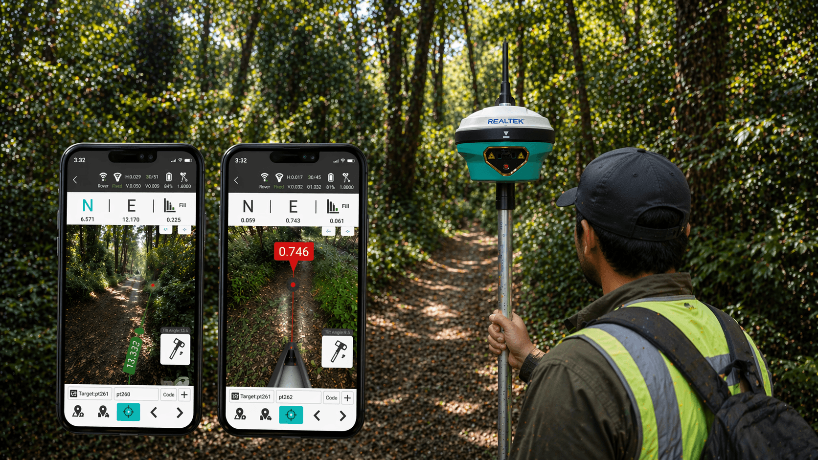
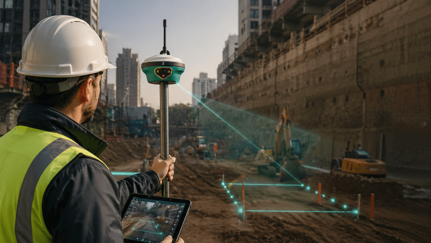
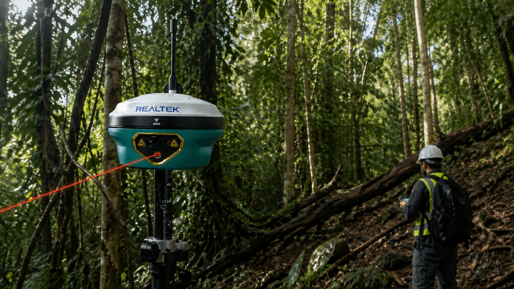
The SDi PRO includes a laser on the bottom designed to measure inaccessible points where you cannot place the tip of the rod (such as the bottom of a deep trench, points under a vehicle, or behind a fence). When combined with the IMU sensor, you can achieve an accuracy of 1 to 3 centimeters over short distances (up to 10-15 meters). It is a "maneuvering" tool that saves a lot of time in the field by avoiding station jumps or indirect methods.
The main difference of the STEC SDi Pro lies in its performance improvements for more demanding terrain work. Compared to the standard SDi, the SDi Pro offers greater laser range, better accuracy in laser-assisted measurements, improved cameras, and an optimized IMU system. This translates into a more complete work experience: it allows capturing difficult points with greater confidence, improving terrain visualization, and maintaining more stable measurements even in conditions where it is not always possible to position the rod perfectly vertical. Simply put: the SDi Pro is designed for those seeking a more powerful, precise version prepared for complex terrain, especially when the laser, cameras, and tilt are key parts of the workflow.
Yes. The STEC SDi Pro can be connected with equipment from other brands, as long as the communication flow is compatible. For this type of integration, the TrimTalk protocol can be used, which allows communication between compatible GNSS equipment. This is especially useful for companies that already have bases, rovers, or other GNSS equipment in the field and seek to integrate the SDi Pro into an existing ecosystem. Before implementing it, it is advisable to validate the specific compatibility between equipment, protocols, frequencies, and radio configuration to ensure a stable connection in the field.
Yes. The STEC SDi Pro can connect to CORS networks via NTRIP, as long as the user has the corresponding access credentials. This allows working with real-time corrections without necessarily relying on a base station on the ground, provided there is network coverage, internet connection, and active access to the CORS service. In practice, you only need to correctly configure the connection data, such as server, port, user, password, and mountpoint. With this, the equipment can receive corrections and work with greater precision in surveys, stakeouts, and GNSS measurements.
Yes. All our products include training through the free GoKeep program. Additionally, our support channel is always available to provide you with a quick response to any technical or commercial questions. You can find our WhatsApp contact directly in the footer of our website.
Yes, we ship to different regions of the country. The cost and delivery time may vary depending on the destination commune or region.
No, the published prices are net and VAT is added at checkout.