GoKeep is a benefits program that adds value to the purchase of equipment with support, training, discounts and exclusive advantages according to the chosen plan.
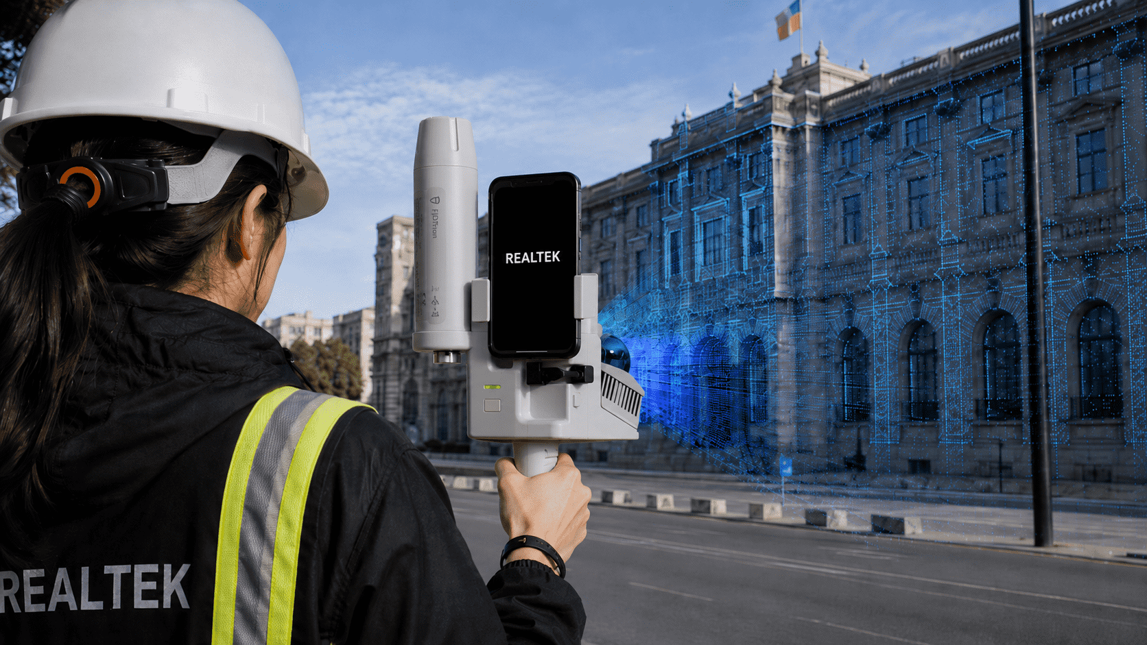
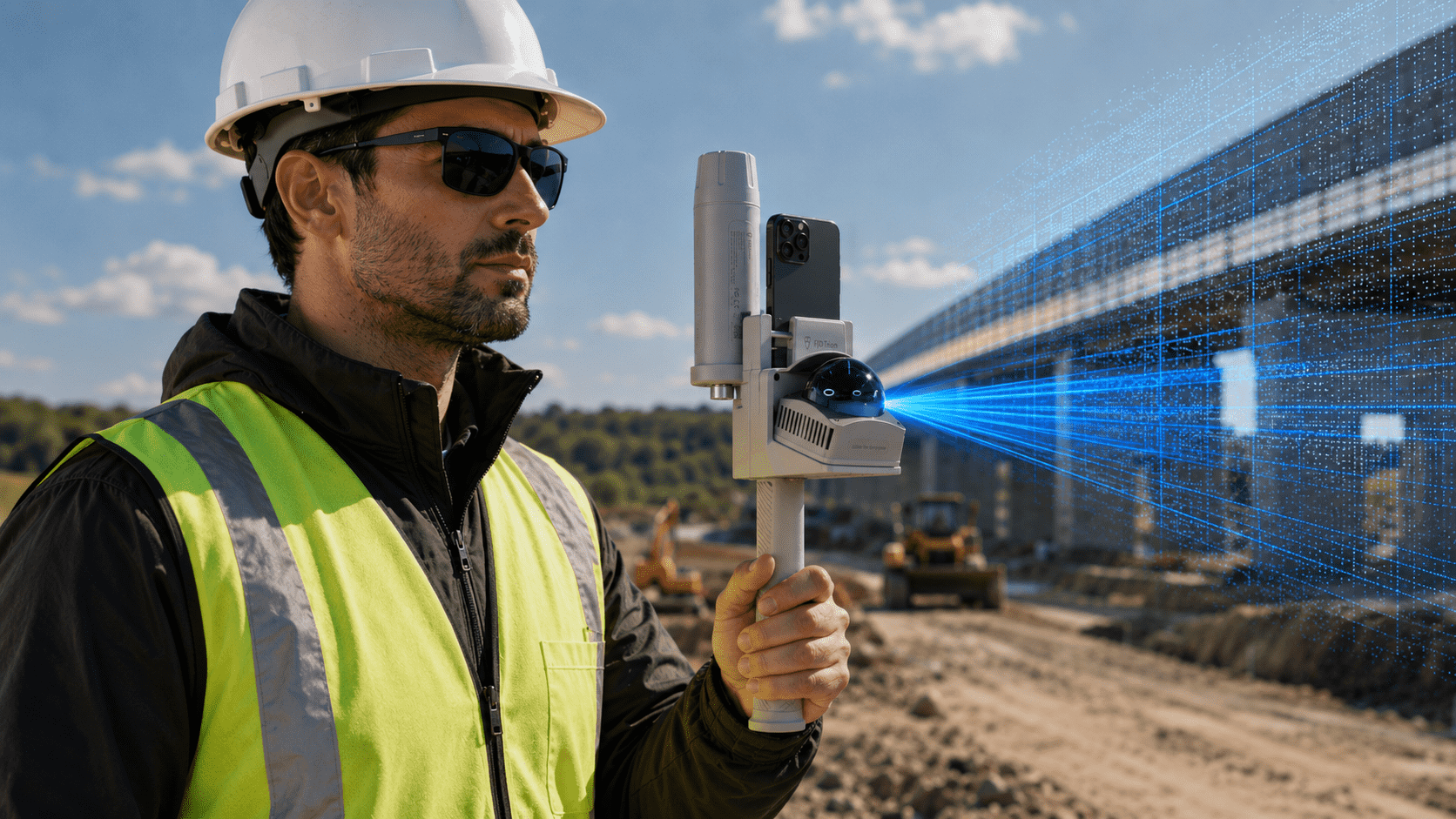
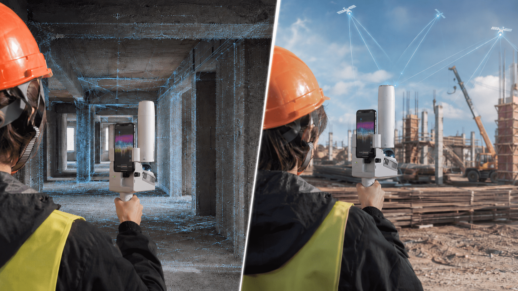
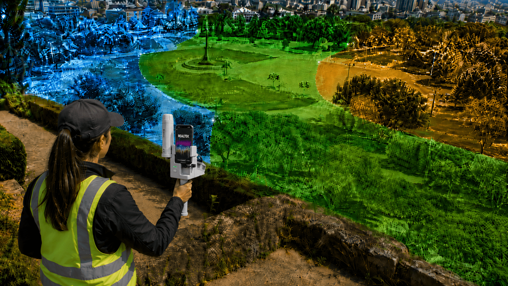
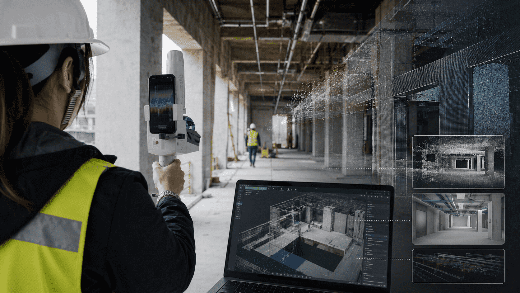
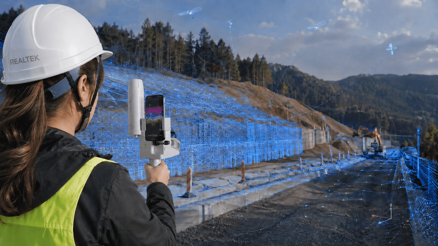
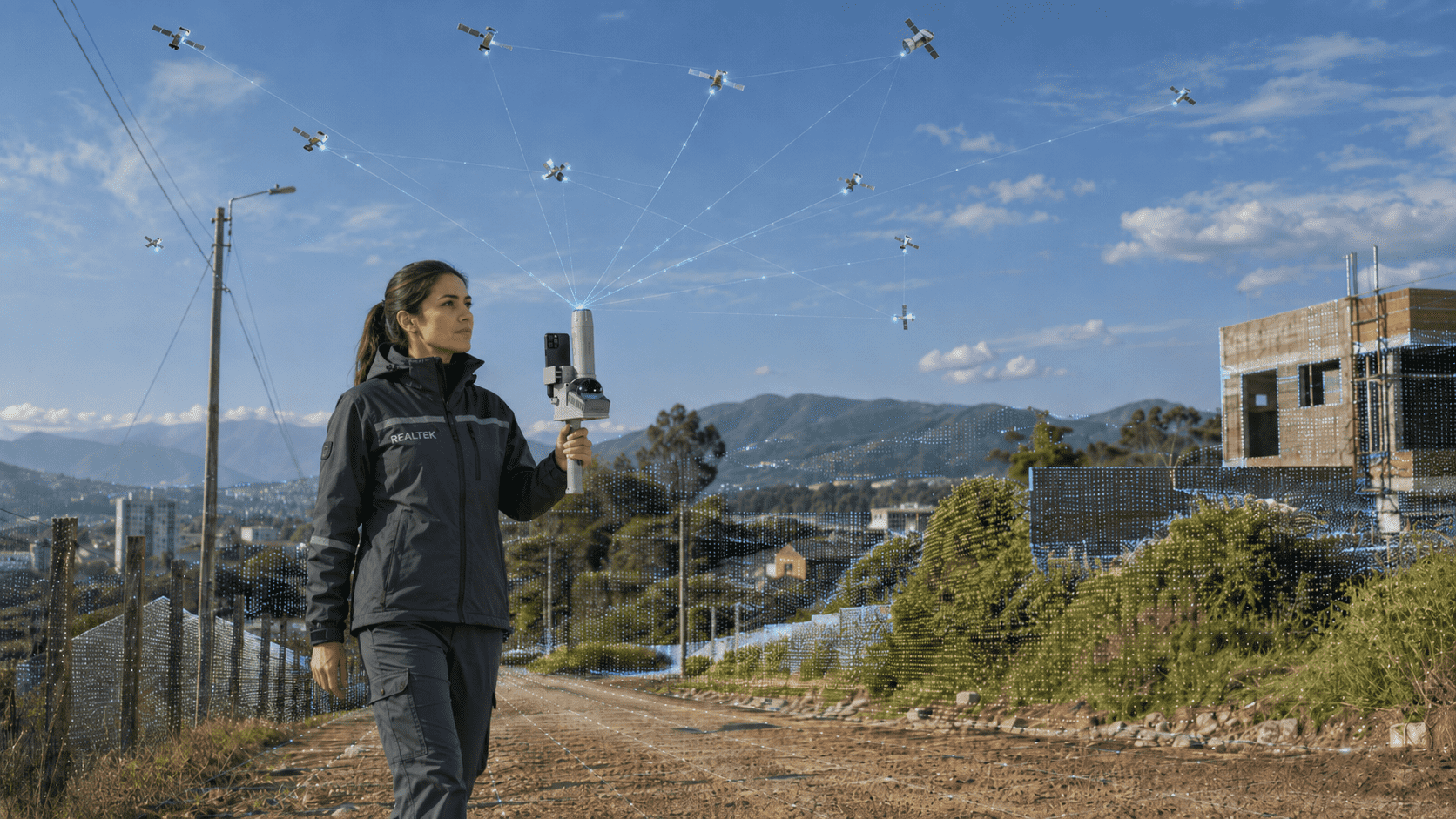
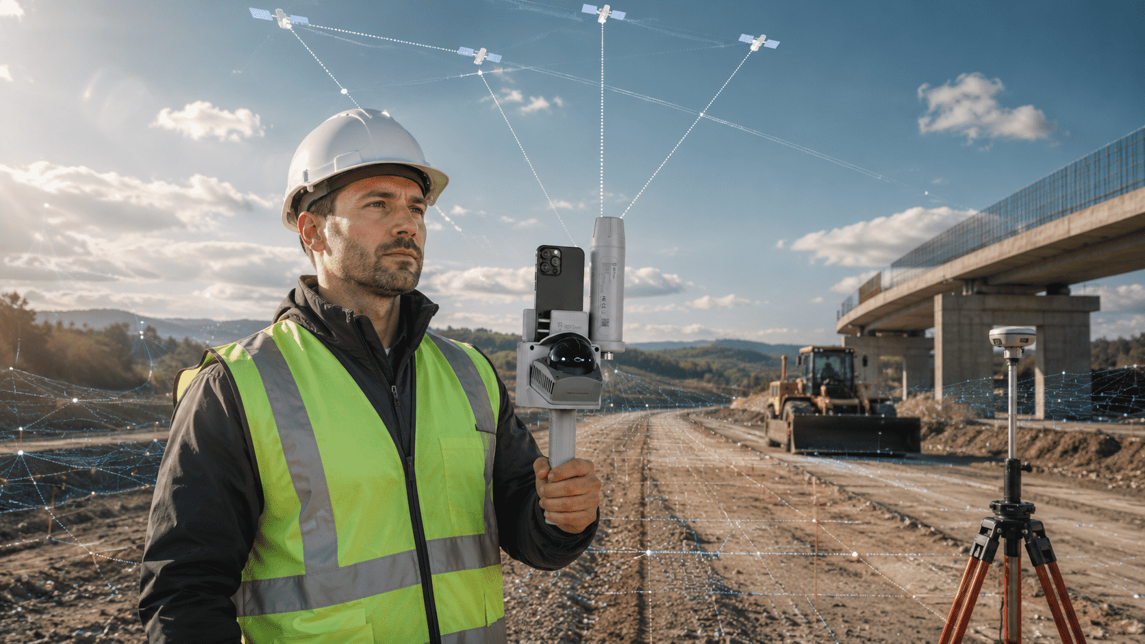
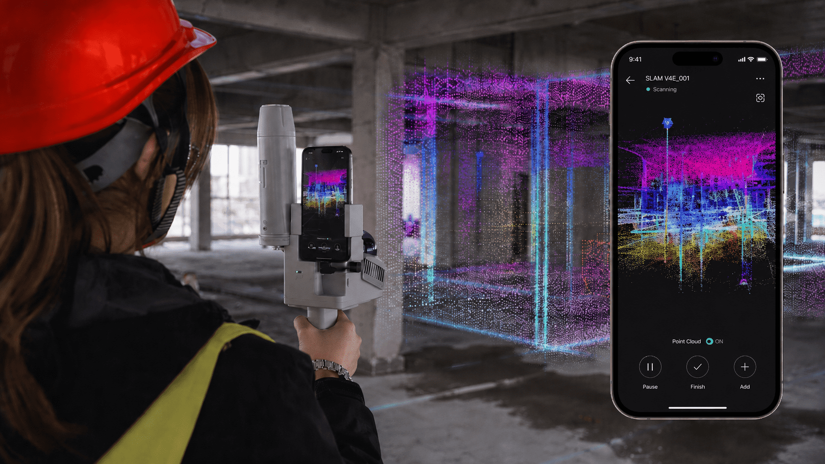

At Realtek we know the terrain: work cannot stop. That's why we created GoKeep, a benefits program that supports you even after you purchase equipment through support, training, discounts, and exclusive advantages depending on the plan chosen, providing real backing to keep your operation always running.
GoKeep is a benefits program that adds value to the purchase of equipment with support, training, discounts and exclusive advantages according to the chosen plan.
The difference lies in the level of benefits included. The higher the plan, the greater the coverage, support, training and commercial benefits.
Not always. The plans maintain a general logic, but some benefits may vary depending on the type of product or equipment purchased.
It may include extended warranty, priority support, courses, software demos, discounts on future purchases, TekPoints, maintenance, and exclusive benefits.
GoKeep Plus adds more support time, equipment recovery, preventive maintenance, early access to offers, in-person training, and better commercial benefits.
GoKeep Pro incorporates the highest level of support, more discounts, more maintenance, additional courses, technical advice, and priority in associated services.
They are accumulative points associated with purchases, which can be converted into benefits or support for future purchases, according to the program's conditions. Each TEKPOINT is equal to $1 CLP.
It is the possibility of valuing your current equipment as part of a future renewal or change, depending on the product and the contracted plan.
Yes. Depending on the plan, it may include team course, certificate, in-person training, and access to additional courses at Realtek Academy.
It depends on how much support, training, and backup you need. If you're looking for basic benefits, GoKeep may be enough; if you want more coverage and accompaniment, Plus or Pro deliver greater value.
CHOOSE AN OPTION
Set up your purchase in simple steps
We will send the quote to your email
Step 1/5 You will shortly receive the quote in your email.
An executive will contact you shortly
Step 1/5 You will soon receive the rental information in your email.
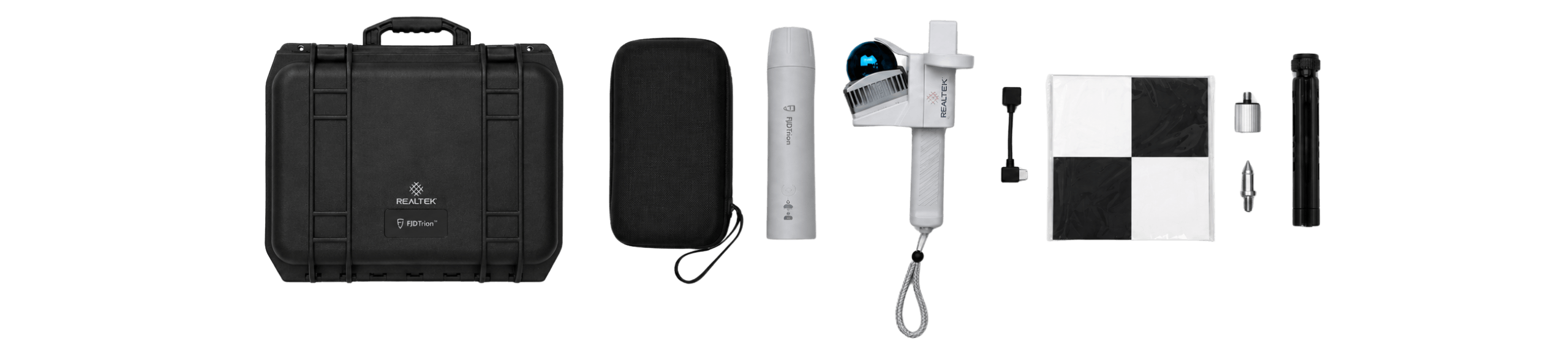
Read content list
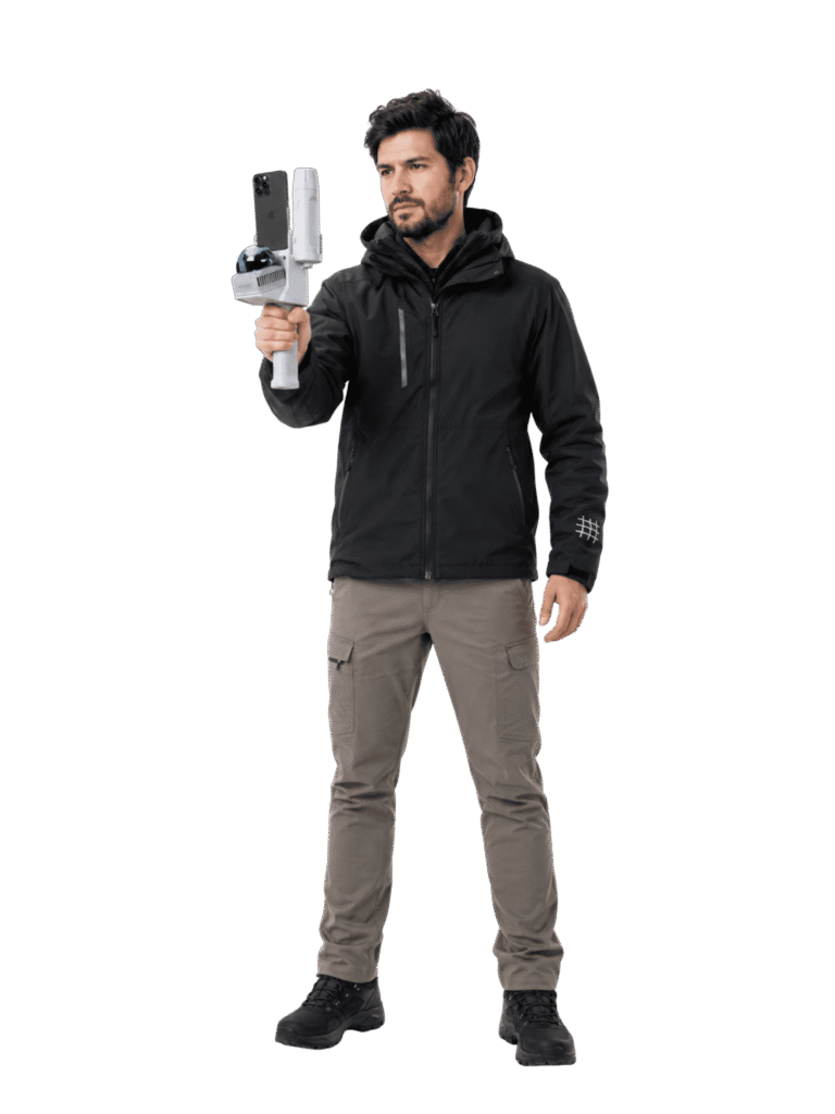
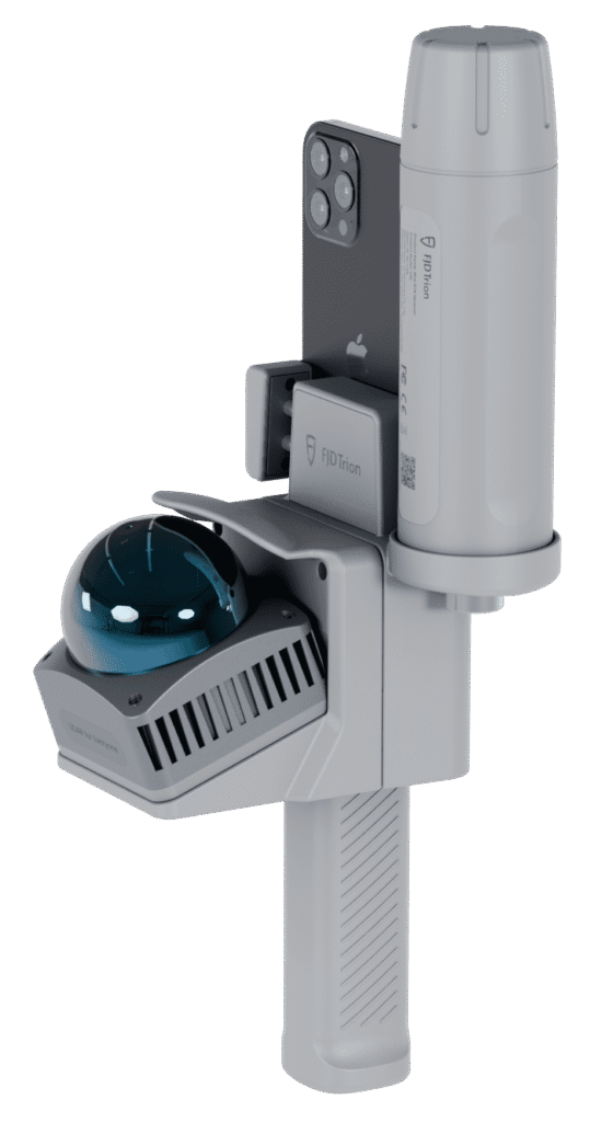
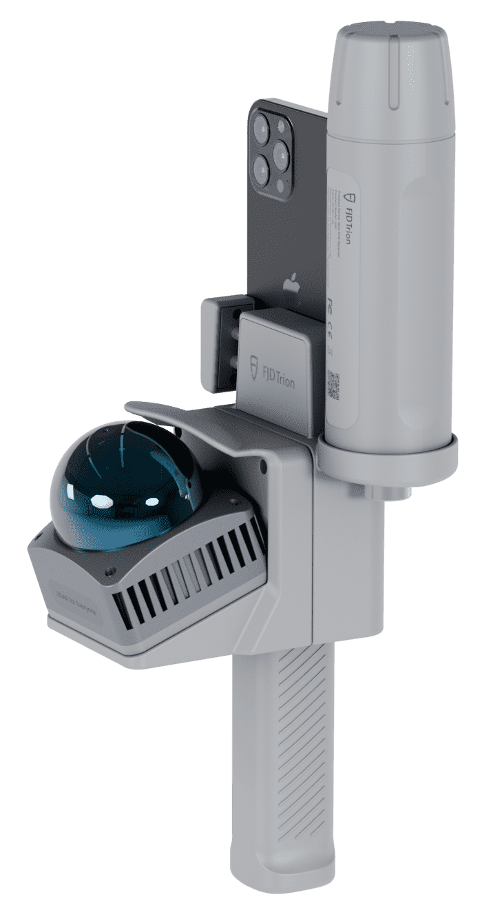
-1 LiDAR Unit with handle
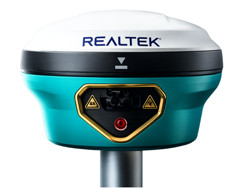
-1 GNSS/RTK V4e receiver
-1 Compact tripod
-2 Charging cables
-2 Screw adapters
-1 USB-C data cable
-1 Thumb screw
-1 Security cable
-1 Locator
-1 Calibration board
Yes. All our products include training through the free GoKeep program. Additionally, our support channel is always available to provide you with a quick response to any technical or commercial questions. You can find our WhatsApp contact directly in the footer of our website.
Yes, we ship to different regions of the country. The cost and delivery time may vary depending on the destination commune or region.
No, the published prices are net and VAT is added at checkout.